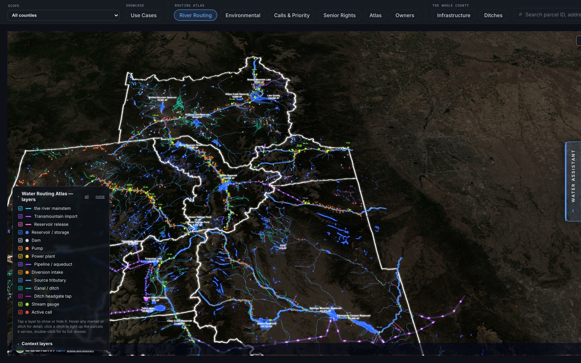
The whole network in one view — transmountain imports, reservoirs, diversions, canals, and stream gauges drawn on the real terrain, with active priority calls lit in red. Every line is a real structure you can open to its decree.
ark.dividegraph.com — Water Routing Atlas
River mainstem Transmountain imports Reservoirs Diversion intakes Canals & ditches Stream gauges Active calls
11 water views · more demos to come
Use CasesSearch RightsCourt CasesRiver RoutingEnvironmentalThe Call ReportSenior RightsAtlasOwnersInfrastructureDitches